YACHT CHARTER ITINERARY
Sail to New Zealand
Still bays, folded coastline, and quiet days
About This Itinerary
5 Days in New Zealand
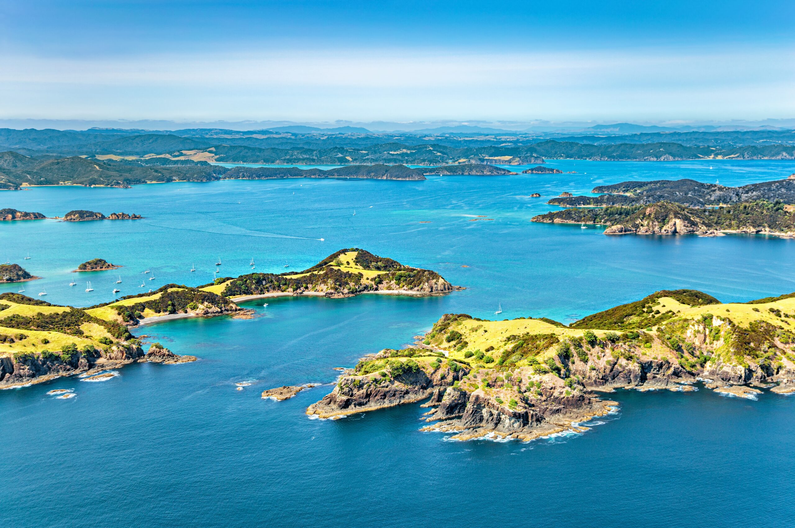
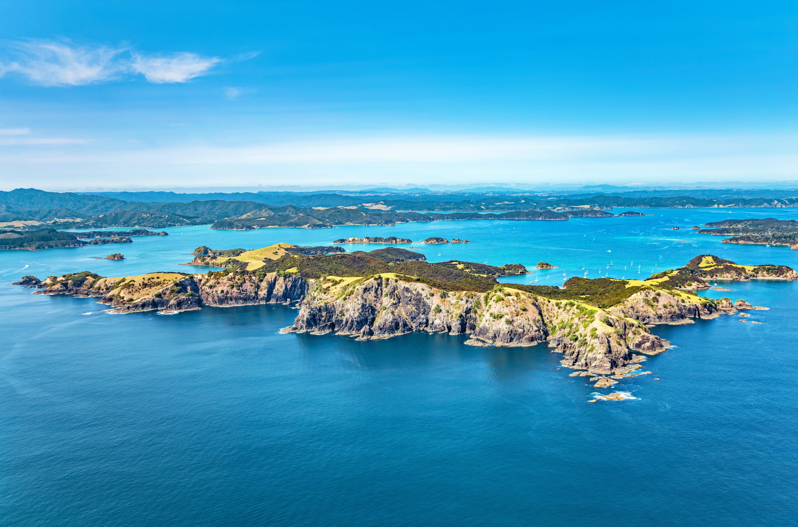
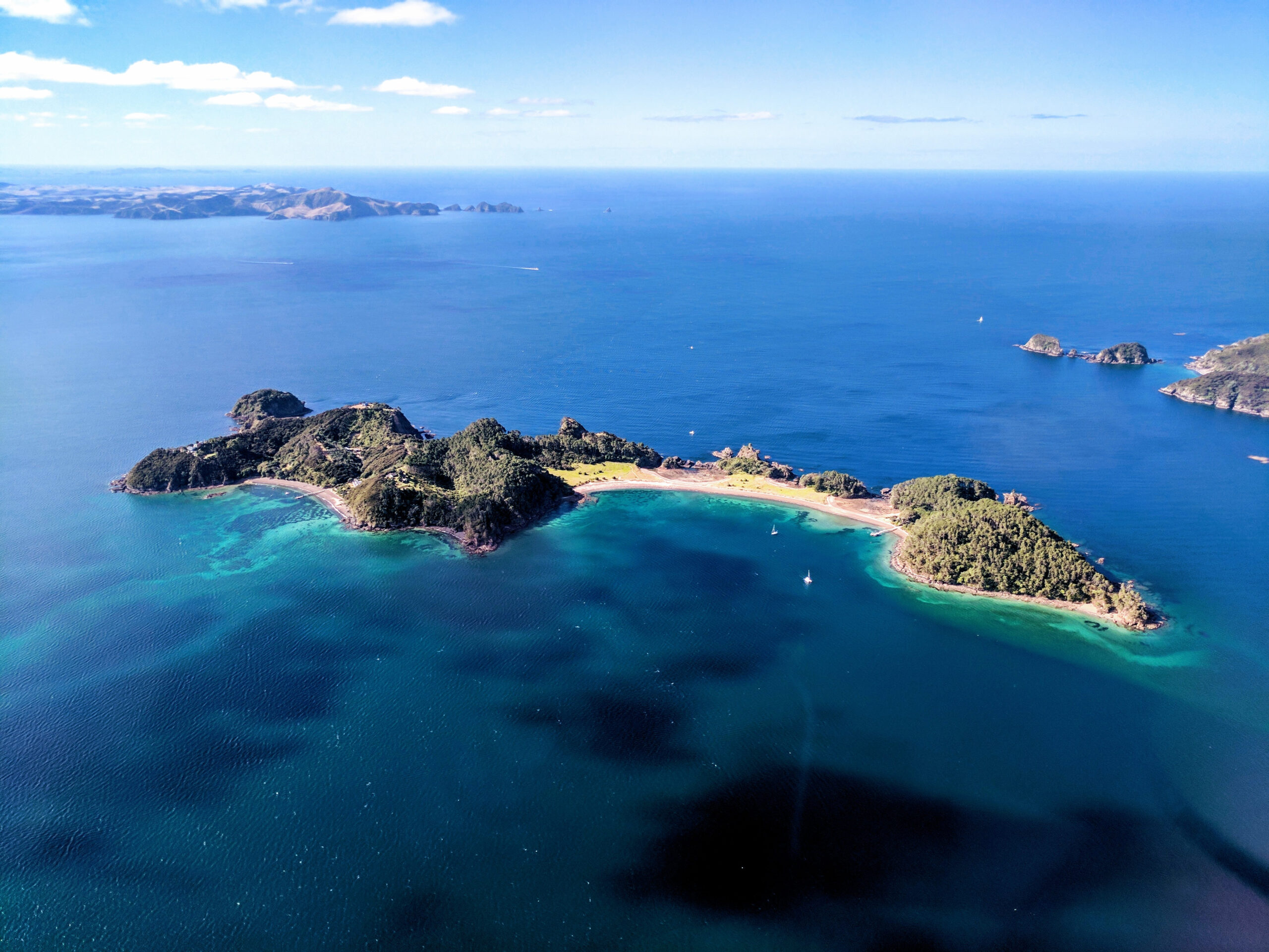
The Bay of Islands is a natural harbor system on the northeast coast of New Zealand’s North Island, with 144 islands spread between Cape Brett and the Purerua Peninsula. This itinerary begins at Opua, a well established marina and a practical base for provisioning and embarkation. The week alternates between three different cruising moods. First, the inner bay around Russell and Waitangi, where early New Zealand history is close to the waterline. Second, the outer bay, where Cape Brett marks the entrance and the coastline becomes steeper and more exposed. Third, the inlets of the southern bay, where the land folds inward and the water stays calm for paddleboarding and swimming.
Itinerary Summary
Opua to Opua
-
Day 1: Opua to Russell and Waitangi
→
-
Day 2: Russell to Urupukapuka Island
→
-
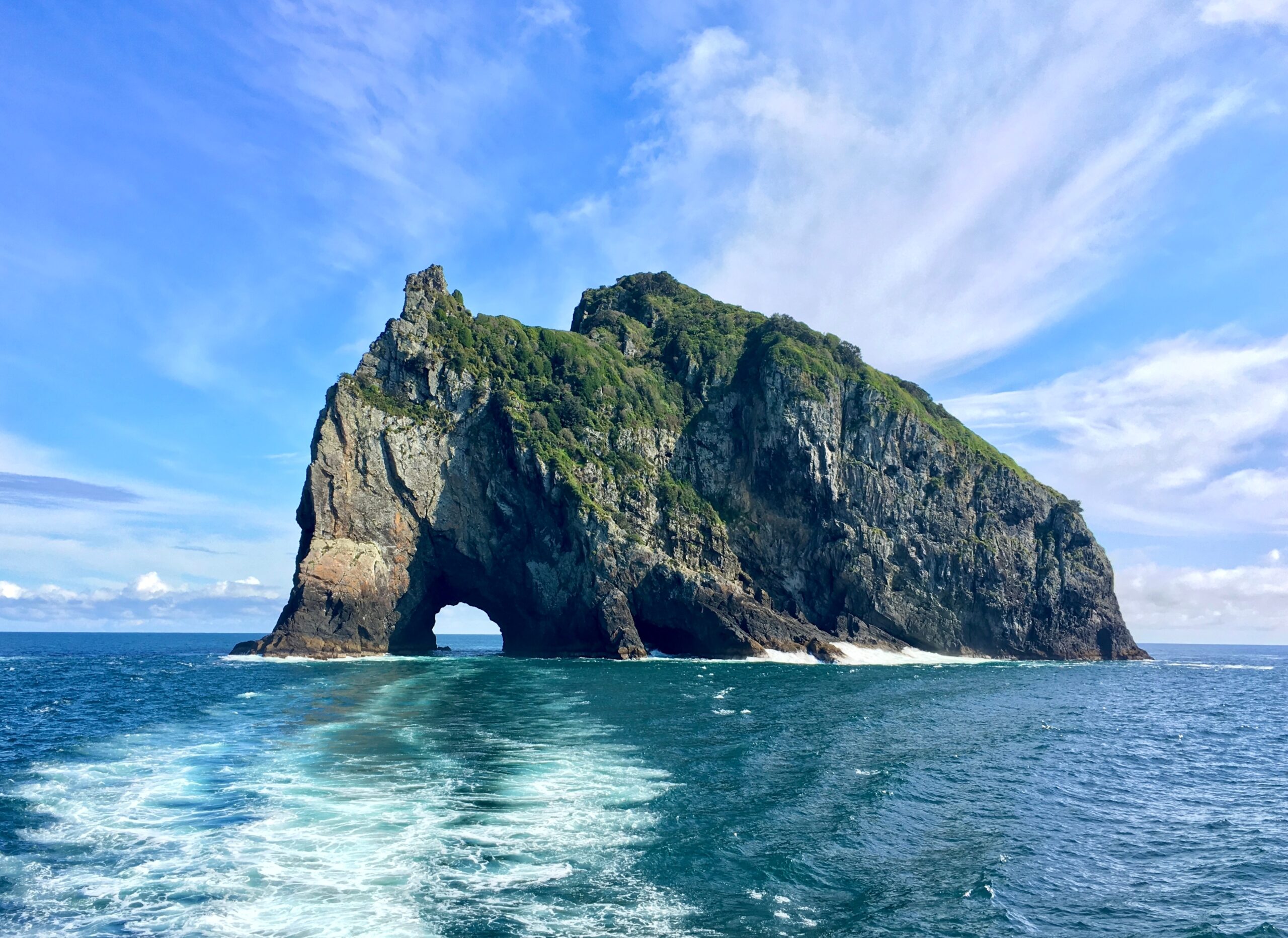
Day 3: Urupukapuka Island to Cape Brett and Motu Kokako
→
-
Day 4: Cape Brett to Whangamumu and Southern Inlets
→
-
Day 5: Southern Inlets to Opua
Day 1 - Opua to Russell and Waitangi
8 NM
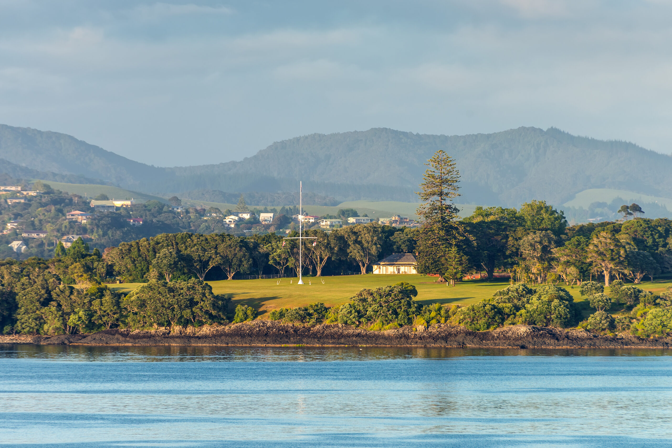
Depart Opua after boarding and cruise across the bay to Russell, historically known as Kororareka, one of the earliest European settlement areas in New Zealand. Anchor or berth, then take the tender across to Waitangi Treaty Grounds, where the Treaty of Waitangi was first signed on 6 February 1840. Return to the yacht for a late swim and an easy first dinner on board, with Russell’s shoreline lights in view.
Day 2 - Russell to Urupukapuka Island
12 NM
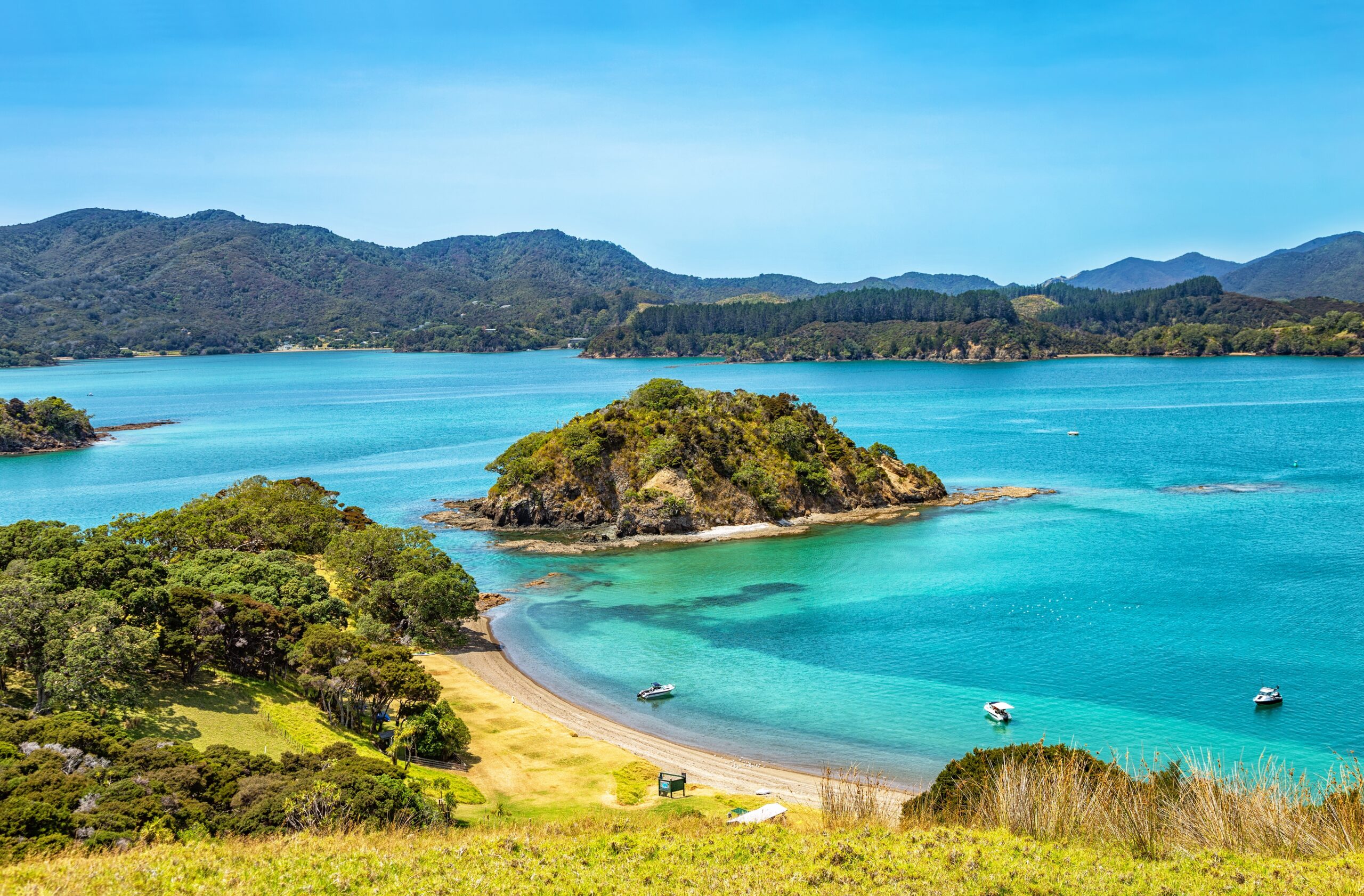
Cruise deeper into the island group and spend the day at Urupukapuka, the largest island in the bay. Use Otehei Bay as your base: swim off the stern, take the tender along the shoreline, then walk one of the island tracks for a higher viewpoint over the inner bay. The Department of Conservation manages the recreation reserve and notes the island as a place for beach time, kayaking, and walking. Keep the evening at anchor and let the bay settle around you.
Day 3 - Urupukapuka Island to Cape Brett and Motu Kokako
18 NM
Head east toward Cape Brett, where the bay opens and the coastline becomes more dramatic. Plan a pass by Motu Kokako, also known as Piercy Island and widely referred to as the Hole in the Rock, at the tip of the Cape Brett peninsula. Continue into a sheltered cove for lunch, then decide on your afternoon shore plan: a water taxi drop for a walk to Cape Brett Lighthouse, or a tender ride along the cliff line for views back into the bay. The Department of Conservation notes the lighthouse site for its cliff top setting and clockwork mechanism. Dinner on board works well here, with the entrance to the bay just beyond the headland.
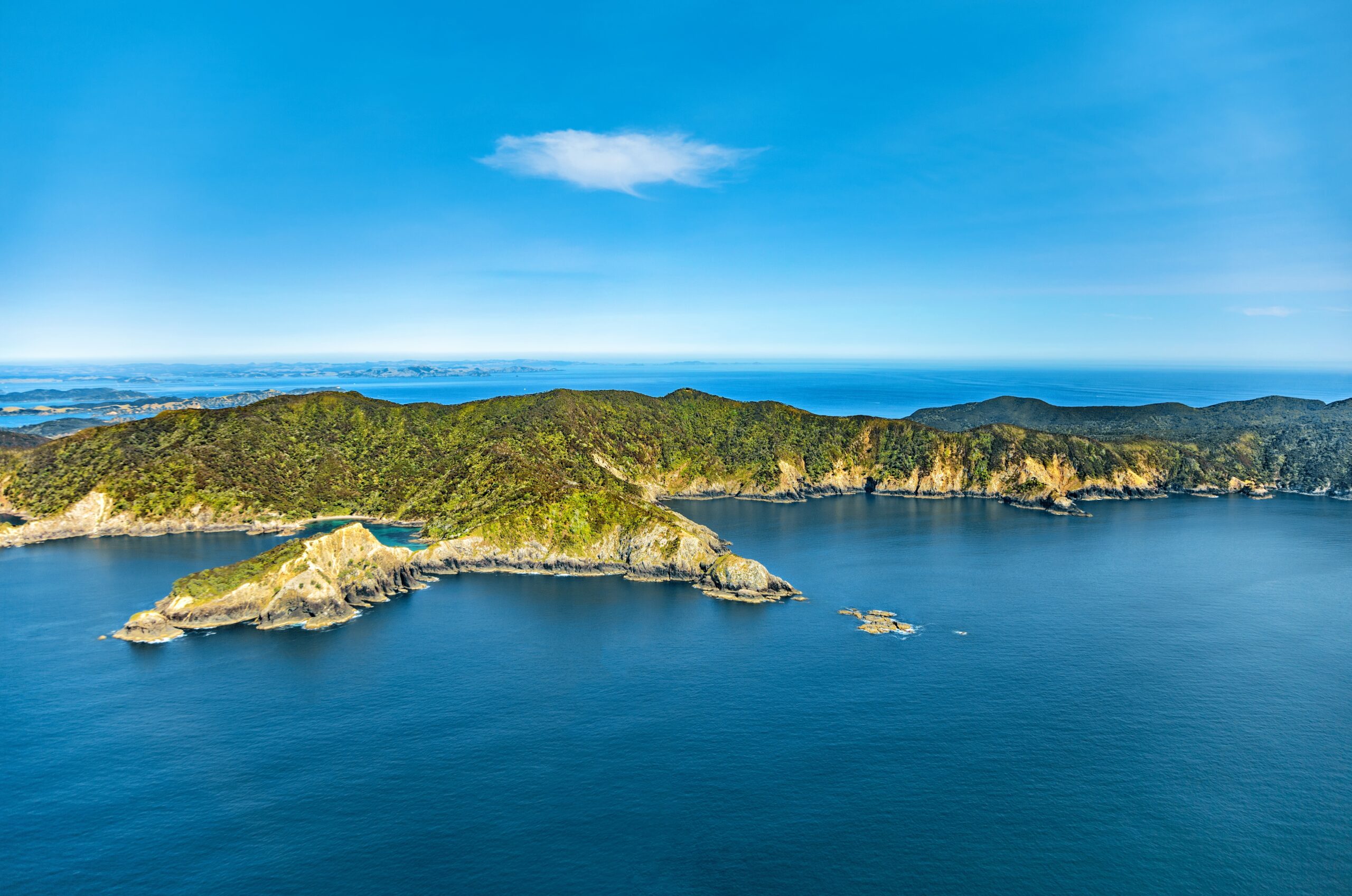
Day 4 - Cape Brett to Whangamumu and Southern Inlets
27 NM
Begin with a short move into Whangamumu Harbour for a swim stop, then turn back into the bay and run south toward the quieter inlets. The Bay of Islands geography includes larger inlets such as the Waikare Inlet in the south, which is well suited to a slower afternoon. Anchor in calm water, then spend the late day on the tender: shoreline exploring, paddleboarding, and a sunset lap through the inlet when the water goes glassy.
Day 5 - Southern Inlets to Opua
30 NM
Cruise north through the inner bay toward Opua for disembarkation. If timing suits, pause near Paihia or Waitangi for a final coffee run ashore, then return to Opua with enough margin to rinse gear, pack, and step off without hurry. Opua’s marina facilities and access to Kerikeri and Paihia make it a straightforward finish point.
Ready to Embark on Your Next Adventure?
Contact UsContact Us
Get in touch for more information.